SpacEyes3D
About SpacEyes3D
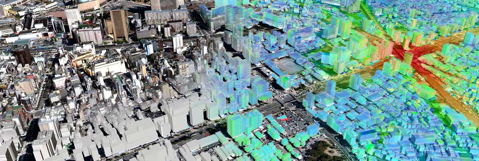
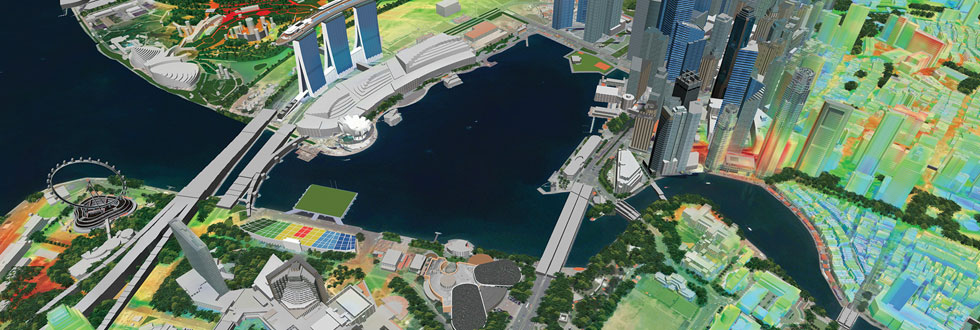
SpacEyes3D software suite, 3D model design and real-time fly-through, LUXCARTA company offers an integrated and complete 3D solution including :
- Its software and associated services : training, maintenance and customized developments,
- Its supply of services : 3D models design and production of 3D City Models from airborne or satellite images.
This 3D offer is dedicated to professionals who wish to communicate, explain, inform or present to specialized or non-specialized audiences various issues dealing with management, planning or territory development. More than 1,500 SpacEyes3D licenses are used across the world.
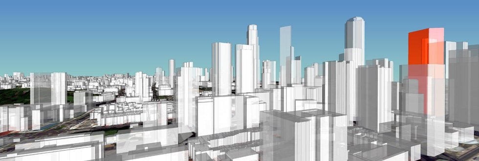
For all professionals – Governmental agencies, Land surveyors, Town planners, Architects, Consulting firms – SpacEyes3D is the perfect solution, easy to use, to “highlight and animate” planning projects and areas of interest.
Compatible with all major GIS, CAD and 3D tools, and main spatial servers of the market, SpacEyes3D range (Server, Active X, etc.) allows to develop all kinds of 3D mapping applications (local or web) by simple integration of SpacEyes3D technologies.


Testimonials
How have companies like yours experienced LuxCarta ?


Introduite à l’Aucame au début de l’année 2012, la 3D a permis à l’Agence d’amener une nouvelle dimension dans les diagnostics et l’analyse paysagère, la vision de l’insertion de projets ou l’impact de scénarios d’aménagement. Pour l’instant réservée aux études des secteurs stratégiques de la grande agglomération caennaise, la 3D offre une lecture plus aisée des territoires et sert de support aux réflexions des différents acteurs en charge de l’aménagement. SpacEyes 3D, par sa simplicité de prise en main, ses performances, son interfaçage avec les SIG et le coût raisonnable de la solution, nous a permis de produire des maquettes de qualité dans des délais courts.